

Upcoming Rides & Events


Single Day Ride
Registration Now Open

Multiday Century
Registration Now Open

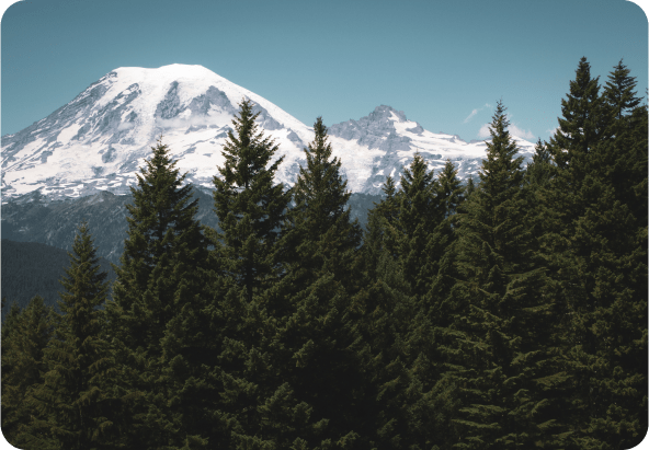
Free Group Rides
Free Group Rides are available 365 days a year, and our certified Ride Leaders offer a variety of locations, paces, and terrains for you to ride across the Puget Sound region.
- Many pace options
- Terrains of all kinds
- All over the Puget Sound area
- Every day
We teach the joys of bicycling, advocate for safe places to ride, and produce world-class rides and events. Explore the many ways to engage with us and get involved today.


Support Our Work
Your support enables us to continue advocating for trails and policies that make our city streets safer; ensures community rides are accessible and affordable; and allows us to educate youth and adults through low-cost classes about how to ride and maintain their bikes.

Become A Member
Join over 9,500 Cascade members and support our work in advocacy, education, and community programming. Plus you get benefits like priority registration, refund eligibility on Cascade rides, and exclusive deals from bike partners.
The Latest News

Cascade Creates New 60-Mile Route for Revel Revolution Rebels
- Join the revelrous fun on our new 60-mile route, or enjoy the party pace of our 15- or 27-mile routes.
- Revel Revolution Ride, June 20, is for women and nonbinary riders.
- Win a Po Campo stem bag!
Joan Hanscom

Celebrating Bike Everywhere Month with Friends (and a Pizza Party)
- 1,089 participants biked more than 204,000 miles during our Bike Everywhere Challenge.
- Celebrate our Bike Everywhere Month successes with a pizza party and prizes on June 17.
Derek Maiolo

Cascade Providing Free Bike Valet for World Cup Matches
- Sound Transit and FIFA partner with Cascade Bicycle Club to encourage biking to World Cup matches.
- Cascade will provide free and secure bike parking at Lumen Field and the Downtown Redmond and Rainier Beach light rail stations on match days.
Paul Tolmé